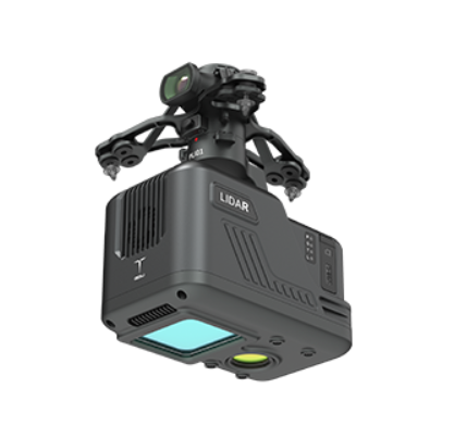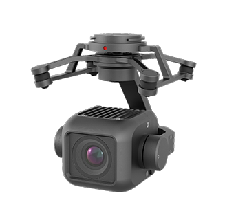


The industry-leading multi-sensor fusion solution integrates a wide-angle camera, a combined optical zoom camera, an infrared camera and a high-precision laser rangefinder for the GDU S400E.
Key Features
Lightweight & Compact Design
Weight: Only 380 g, enabling long-endurance drone operations without compromising performance
All-in-One Module: Combines multiple sensors in a mature, integrated system for streamlined deployment
Advanced Imaging System
Wide-Angle Camera: Captures broad field-of-view data for mapping and situational awareness
Optical Zoom Camera: 10× hybrid optical zoom and up to 160× maximum zoom with point-of-view autofocus
Infrared Camera: 640×512 resolution, 25 mm focal length for accurate temperature measurement at extended ranges
Laser Rangefinder: High-precision measurements for surveying and targeting
AI-Powered Performance
Computing Power: Integrated 10.4T AI processing for real-time analysis
Smart Algorithms: Supports autonomous recognition, positioning, and continuous tracking
Seamless Collaboration: Multi-sensor fusion ensures efficient data synergy across all payload systems
Ideal For
Surveying and mapping professionals needing precise multi-sensor data, emergency response teams requiring thermal and zoom capabilities, and industrial inspectors monitoring infrastructure with accuracy and efficiency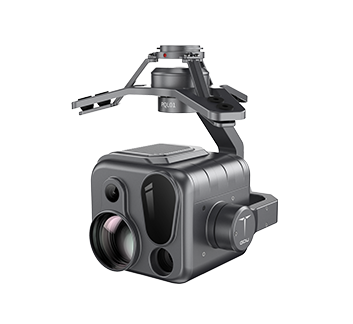

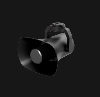
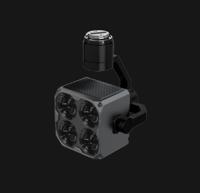
- •1× GDU PQL02 Compact Quad-sensor Camera