


Wingtra One Gen II Mapping Drone Base Kit
- Order within
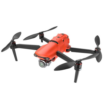
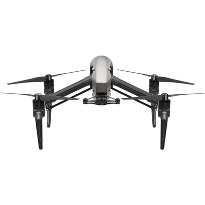
The Wingtra One Gen II is a cutting-edge fixed-wing VTOL (Vertical Take-Off and Landing) drone engineered to revolutionize aerial mapping and surveying. Designed for professionals in construction, mining, infrastructure, and environmental monitoring, this drone delivers unmatched efficiency, centimeter-level accuracy, and robust performance in challenging environments.
Key Features
-
High-Efficiency Mapping
-
Fixed-Wing Design: Covers large areas up to 11x faster than multicopter drones and 2x faster than traditional fixed-wing models
-
59-Minute Flight Time: Survey up to 1,200 acres per flight at 16 m/s (36 mph)
-
Fixed-Wing Design: Covers large areas up to 11x faster than multicopter drones and 2x faster than traditional fixed-wing models
-
Survey-Grade Accuracy
-
Onboard PPK GNSS Receiver: Eliminates the need for ground control points (GCPs), reducing fieldwork time
-
CM-Level Precision: Achieve ±3 cm horizontal and ±5 cm vertical accuracy
-
Onboard PPK GNSS Receiver: Eliminates the need for ground control points (GCPs), reducing fieldwork time
-
VTOL Versatility
-
Take Off/Land Anywhere: Operate in confined spaces or rugged terrain with vertical launch and landing capabilities
-
Wind Resistance: Fly safely in sustained winds up to 12 m/s (27 mph) and gusts of 18 m/s (40 mph)
-
Take Off/Land Anywhere: Operate in confined spaces or rugged terrain with vertical launch and landing capabilities
-
Durability & Reliability
-
Swiss Engineered: Rigorously tested across 300+ quality checks with over 100,000 proven flights
-
Predictive Self-Diagnosis: AI-driven pre-flight safety checks and component health monitoring
-
Swiss Engineered: Rigorously tested across 300+ quality checks with over 100,000 proven flights
-
User-Friendly Workflow
-
Fully Autonomous: Automated flight planning, data capture, and landing via the WingtraPilot app
-
5-Minute Setup: Ready to deploy in minutes with swappable batteries and cameras
-
Fully Autonomous: Automated flight planning, data capture, and landing via the WingtraPilot app
Flight Performance
- Max Flight Time: 59 minutes
- Max Speed: 16 m/s (36 mph)
- Wind Resistance: 12 m/s sustained, 18 m/s gusts
- Coverage: Up to 1,200 acres per flight
Camera & GNSS
- Sensor Compatibility: Swappable 42MP RGB camera (default)
- PPK GNSS: Dual-frequency (GPS, GLONASS, Galileo)
- Accuracy: ±3 cm horizontal, ±5 cm vertical
Design & Durability
- Material: Carbon fiber-reinforced body
- IP Rating: Dust/water-resistant (field-operational)
- Temperature Range: -10°C to 50°C
Software & Automation
- WingtraPilot App: Intuitive flight planning, real-time telemetry
- Data Output: Orthomosaics, 3D models, DSM/DTM
Compliance & Warranty
- FAA Registration: Required (non-commercial use)
- Warranty: 1-year limited
- Wingtra One Gen II Drone
- Rugged Tablet with WingtraPilot Software
- Telemetry Module (2.4 GHz)
- 4x Intelligent Batteries
- Charging Station
- Anemometer (wind speed measurement)
- microSD Card Reader
- Pair of Spare Propellers
- 2x Side Stands + Middle Stand
- Torx T10 Screwdriver & Key
- Carrying Sleeve & Pilot Box (Accessories Case)